Tropical Storm
Hurricane Ida
The Gulf of Mexico
Aug 2021
Primary Contact
Claims Alert center
T: 1-877-346-0300
E: claimsalert@us.crawco.com
Crawford is closely monitoring Hurricane Ida's impact and our teams are ready to respond. Visit our services page to learn more about our claims adjusting offerings. For assistance, contact us via our 24-hour ClaimsAlert contact center at 1-877-346-0300 or email us at claimsalert@us.crawco.com.
See below for the most recent updates.
Updates
Sep 02, 2021
Hurricane Ida floods northeast
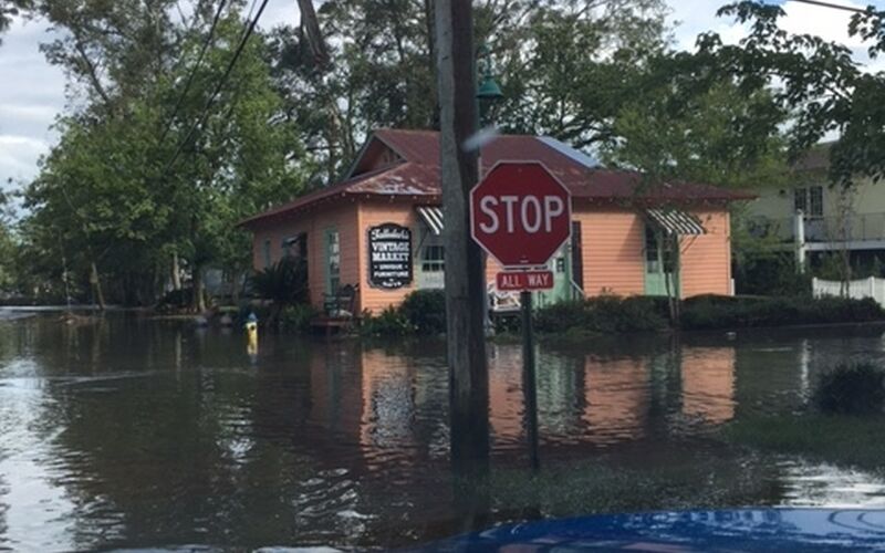
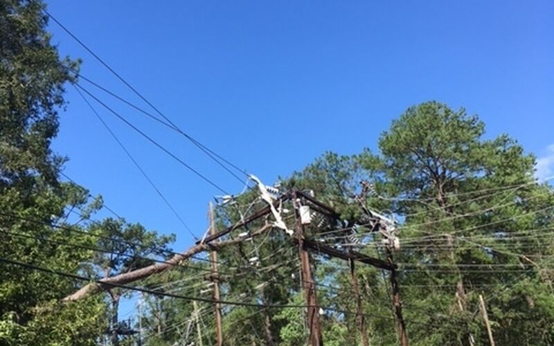
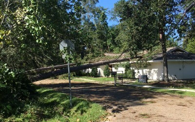
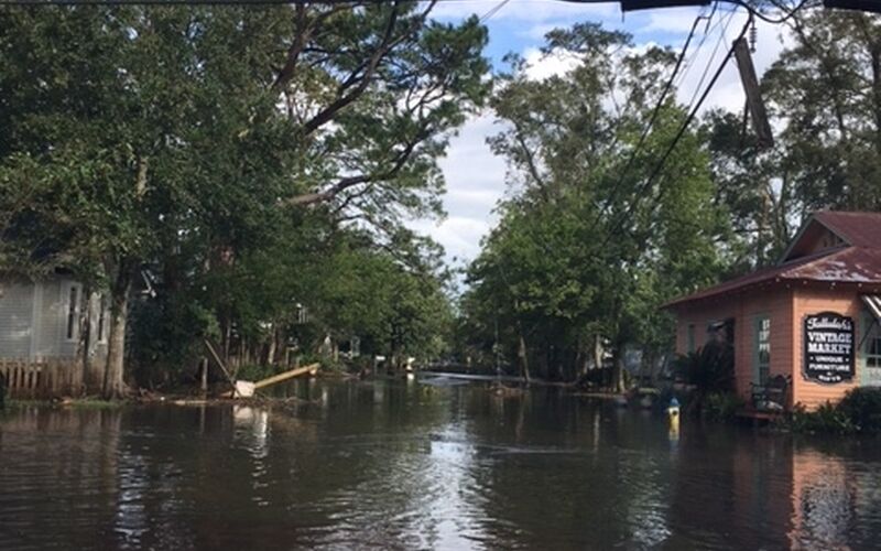
Crawford adjusters are mobilizing in Lafayette, LA in preparation to respond to claims as soon as conditions permit. According to Insurance Insider, Ida losses are likely to exceed $25 billion. This number continued to climb as Ida traveled through the Northeast last night, flooding New York and New Jersey. Historic rainfall was recorded, overwhelming public transportation and roadways and causing rivers to overflow. Several tornadoes were reported in Pennsylvania. Power outages, downed trees and flooding are still life-threatening. Many people are trapped in their flooded homes, desperate for first responders to reach them.
Aug 31, 2021
Geoffrey Conrad, Director of Crawford catastrophe services training, provides an update on Crawford’s response to Hurricane Ida.
Aug 30, 2021
Buddy Sheets, Director of Crawford catastrophe services, provides an update on the aftermath of Hurricane Ida and Crawford's response.
Aug 30, 2021
Crawford is currently mobilizing adjusters to respond to claims associated with Hurricane Ida, which made landfall as a Category 4 storm in Louisiana yesterday. Ida has now turned east and is moving through Mississippi and Alabama as a tropical storm. We anticipate more heavy rain, flash flooding and wind damage as the storm travels up the Eastern Seaboard.
Since landfall, Crawford’s contact center has fielded close to a thousand client requests for assistance, with numbers expected to rise as power is restored. Additionally, we are fulfilling client requests for self-service, desk and onsite adjusting. We are actively staging adjusters around the storm track from Shreveport to Lafayette and Houston to Mobile, and we are working with local authorities for access once power is restored and curfews allow.
Aug 29, 2021
Hurricane Ida made landfall today near Port Fourchon, Louisiana as a Category 4 hurricane. A 10-foot storm surge, a foot of rain and 150 mph winds are accompanying Ida, and public officials warn that this storm is tied in intensity with Hurricane Katrina in 2005, which devastated Louisiana 16 years ago almost to the day. This is a life-threatening storm, and our hearts are with all who are in its path.
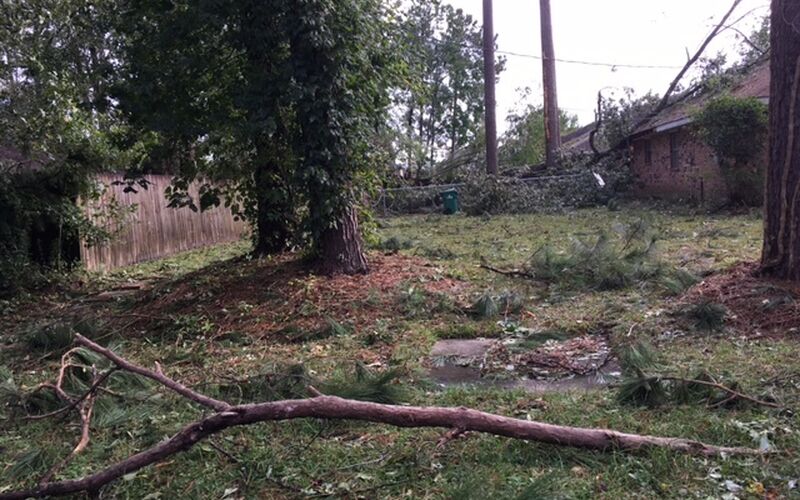
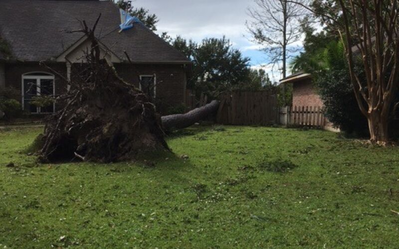
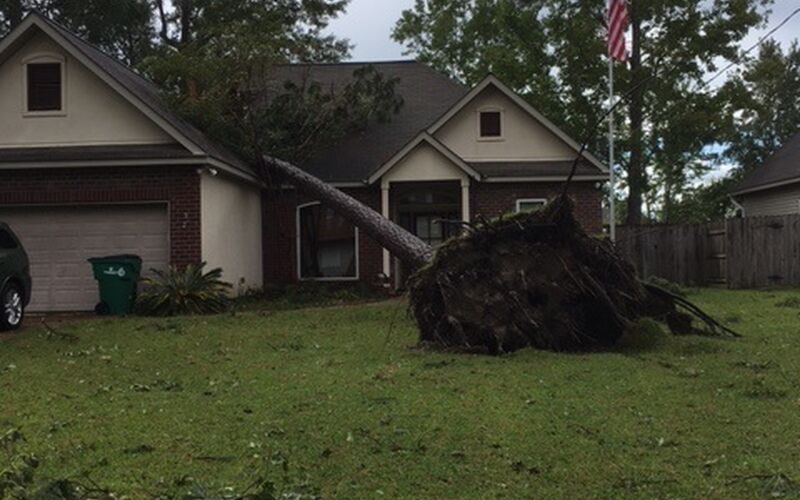
The next several hours will be extremely dangerous for residents of Houma, Baton Rouge and New Orleans. The eye of the storm will move across Metairie, Kenner, the western side of Lake Pontchartrain and Lake Maurepas. In addition, it is very likely that the eyewall of Ida will move directly over Baton Rouge tonight as a 100-mph hurricane. Downed trees, severe flash flooding and widespread power outages are likely.
Aug 27, 2021
As Hurricane Ida heads toward the Gulf of Mexico, storm watches and warnings have been issued for the Mississippi-Alabama border, the Alabama-Florida border, parts of Cuba as well as the Cayman Islands. The storm is expected to strengthen to a major, Category 3 hurricane this weekend. Hurricane watches are in effect for Cameron, Louisiana to the Mississippi-Alabama border, as well as the New Orleans metro area. Louisiana and Mississippi coasts should expect heavy rain, strong winds and flash flooding early Sunday. Southern Louisiana and parts of Mississippi can expect hurricane conditions with winds over 115 mph by Sunday evening. Storm surge watches are also in place for the Alabama-Florida border, Vermillion Bay, Lake Borgne, Lake Pontchartrain, Lake Maurepas and Mobile Bay. Dangerous flooding from storm surge is possible within the next 48 hours. For now, those in Louisiana, Mississippi and the coastal areas should continue to monitor Ida’s path and be prepared to evacuate.
Manage deployments, manage your profile and more on the Crawford Catastrophe portal.
